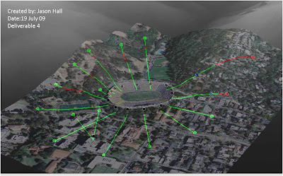
This a 3D view of the orthoimagery and line of sight lines overlaid on a DEM for 3D visualization. I have created line of sight lines within ArcScene but I never knew that you could copy them in ArcMap and paste them into the scene. The only thing I still don't quite understand is when I overlaid the imagery on the DEM the instructions said to offset the base heights by 30. I need to research what this number means and how it affects the display.

No comments:
Post a Comment